
Skip to content
Green Park

Live Green, Live Connected

Location

Plan your daily life between Oeiras, Lisbon and Monsanto. Explore the surrounding services, green spaces and connections, starting from Green Park’s location on the map.

Original illustrated map. Travel times shown are indicative and depend on traffic and route; check current directions below. Planned transport links are not presented as operating services.

Plan your route

Green Park

Load the interactive map to connect to Google Maps, or use the directions links below.

Privacy policy

Green Park · Oeiras

Choose a destination and open directions to check the route and current travel time.

Open in Google Maps

Life around Green Park

Close to nature

Monsanto offers walking trails, cycling routes, picnic areas and playgrounds. Consult the municipal park map to choose an entrance and a route for a walk, a bike ride or time outdoors with children.
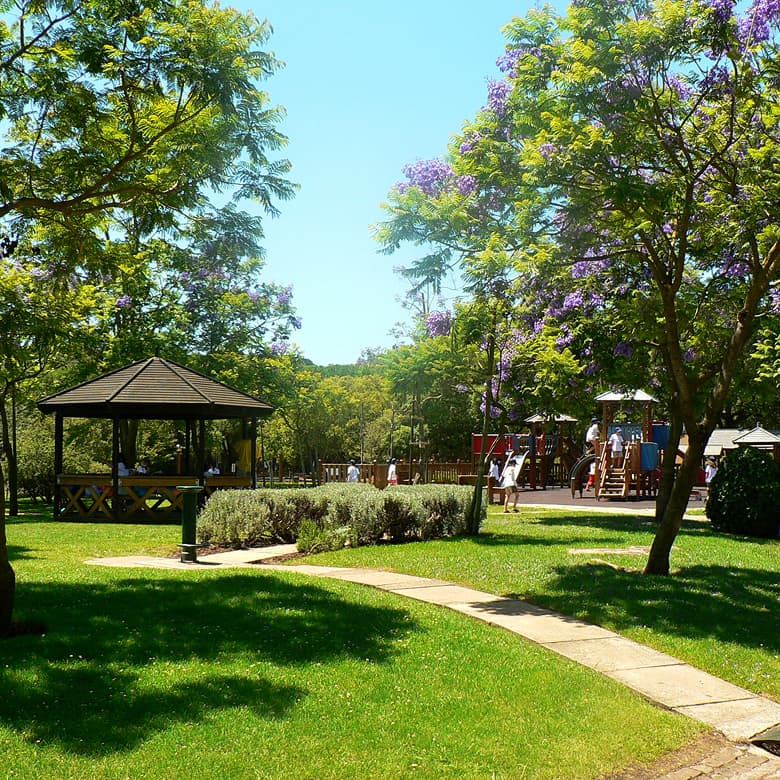
Playground and green spaces in Monsanto

Shopping and business in the surrounding area

The Carnaxide area includes World Trade Center Lisboa, a business destination, and Alegro Alfragide for shopping, food and services. Explore each destination and plan the route that suits your day.

Your daily routine in the neighbourhood

Explore schools in Miraflores, sports facilities at Jamor, and hospital and outpatient care in the surrounding area. The links below take you directly to each provider for up-to-date information.

Use the directions links to check current travel times. Journey times vary with traffic, transport mode and route. School admissions and access to services should be confirmed with each provider.

Discover Green Park with our team

Tell us what matters to you and ask for information or arrange a visit.

Find the apartment for your next chapter.